USA
USA Canada
 Germany
 France
 UK
UK Japan
Japan Korea
Korea Australia
 Indonesia
 Vietnam
 South Africa
 Rwanda
More and more aerial drones are serving in program recording and short video production; more and more ordinary people around us are buying consumer-grade aerial drones. Although the operation of consumer-grade drones is now very simple, but there is still a lot to learn about aerial photography of satisfactory works. Aerial photography drone a mirror in the end how to realize.
It's not practical for newcomers to learn advanced techniques, or to add too many stunts in post-production. But there is a relatively simple technique that “old drivers” are also using: one shot to the end, just shoot a continuous shot.
New players with a drone aerial photography landscape can start from the takeoff video, takeoff oblique forward climb, at the appropriate altitude forward straight flight. No editing is needed at all, and the scenery comes into view step by step.
It may be difficult to fly such a continuous route for the first time, but here is an easier way: raise the lens. Turn on the video while the camera is shooting vertically down, and then use the wheel on the remote control to raise the angle. This will also allow you to follow a coupe with a fast start.
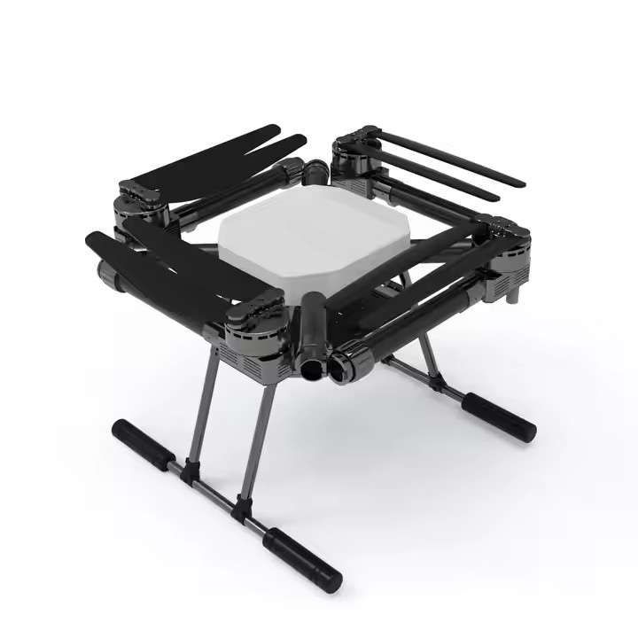
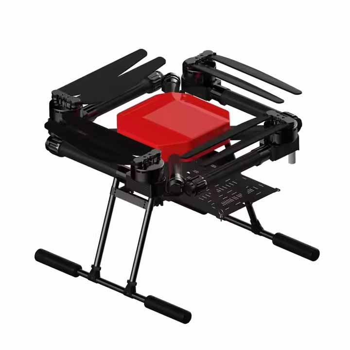
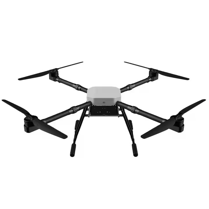
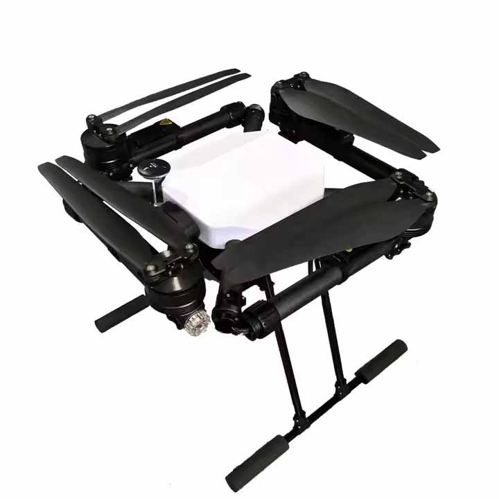
Also stay away from obstructions, metal buildings, and radar and communication base stations in flight, as such places tend to interfere with the drone's navigation signals. Purdue International Aviation Technology (Dongguan) Co., Ltd. is located in the new first-tier city of Dongguan City, Wanjiang District, is a collection of research and development, production, sales, training as one of the drone integrated service platform, the company's products mainly contain aerial photography drones, military drones, multi-rotor drones, emergency rescue drones, vertical take-off and landing fixed-wing drones and other types of aircraft.